Here’s a map of Nepal highlighting the epicentre of the earthquake on April 25, 2015.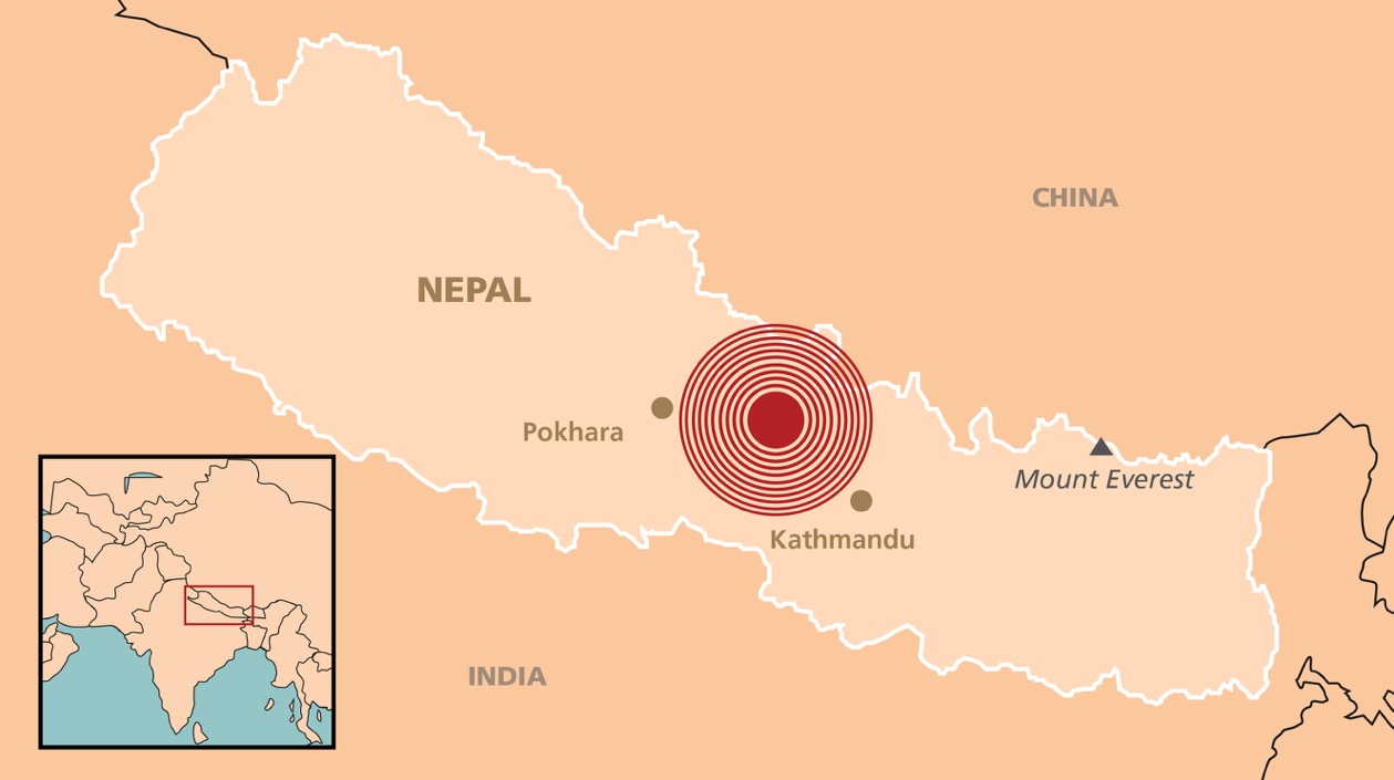
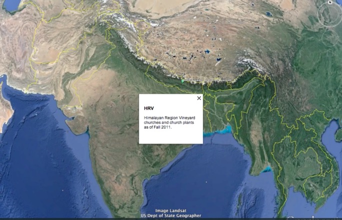
Here are the locations of Vineyard churches which were directly impacted by the earthquake.
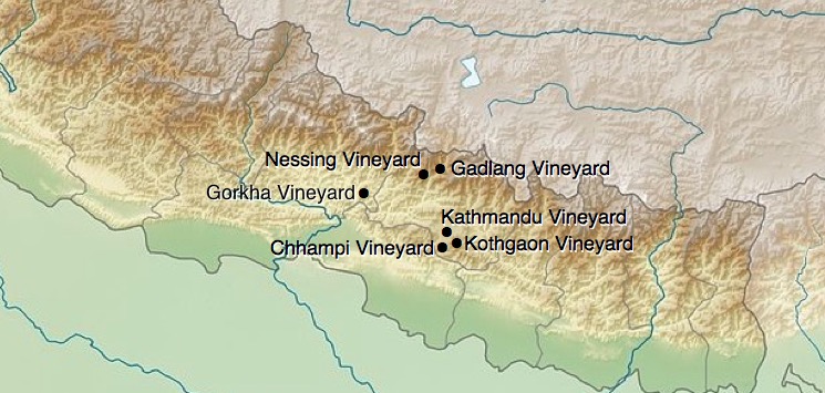
Below is a Google Earth view of the churches on the map. In case you can’t see the names on your screen, the order of the tour is:
- Dakhbari Sangati (Kathmandu Vineyard)
- Chhampi Vineyard
- Kothgoan Vineyard
- Dakhbari Sangati (Kathmandu Vineyard)
- Gorkha Vineyard (near the epicentre)
- Dakhbari Sangati (Kathmandu Vineyard)
- Gadlang Vineyard
- Nessing Vineyard
- Dakhbari Sangati (Kathmandu Vineyard)
HRV Earthquake churches from WCV on Vimeo.
>> Click here to Donate to the Nepal Disaster Fund.
>> Stay in touch. Sign-up to be notified when new updates are posted. Subscribe here.
Thanks Andy Wood for posting this Google Earth video. It helps get a grasp on how spread apart the churches are and how high up in the mountains too. We have artisans from Nepal too that I know acquired damage to their workshops, limiting how they will earn income. It will be some time before the fair trade group will be up and running again. It so saddens my heart.